Map
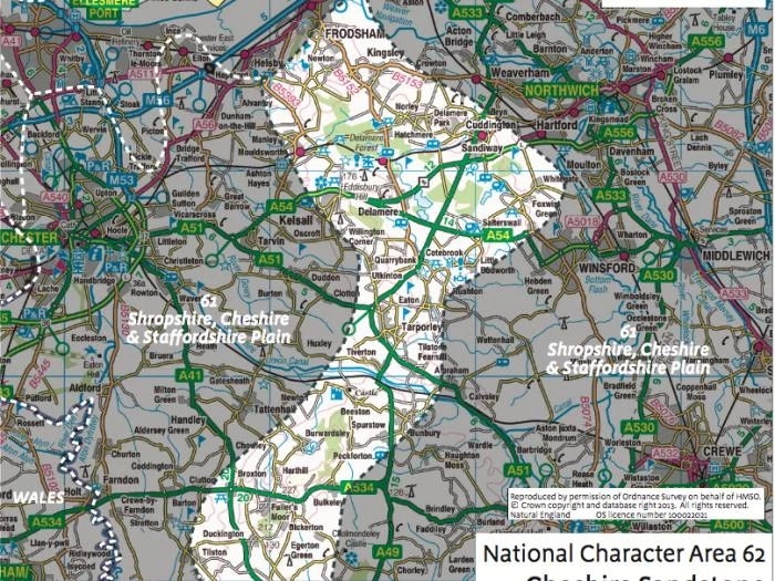
The Sandstone Ridge runs for 30 km between Frodsham and Helsby in the north to Malpas in the south, covering around 220 sq km, or 10% of the old county of Cheshire.
The "Ridge" is not actually a single unit, but a complex of rolling hills and sandstone escarpments, punctuated by areas of lower-lying ground and is recognised as being nationally distinctive (the Cheshire Sandstone Ridge National Character Area No. 62).
The area is essentially rural in character, being dominated by a patchwork of small fields, interspersed with larger areas of woodland, heathland, meres and mosses. Settlement is composed largely of farms, many occupying the same site since at least the later middle ages, as well as hamlets and villages. The area includes parts of a number of larger settlements including Frodsham, Helsby, Cuddington and Sandiway, Kelsall, Tarporley and Bunbury.
Chester, Ellesmere Port, Northwich, Winsford, Crewe and Whitchurch all lie close by, with the major Merseyside and Greater Manchester conurbations just an hour's drive away.
The Sandstone Ridge is covered by OS EXPLORER maps numbers 257 (Crewe & Nantwich) and 267 (Northwich & Delamere Forest).

Sandstone Ridge Trust
Registered Company No. 7673603
Registered Charity No. 1144470
info@sandstoneridge.org.uk